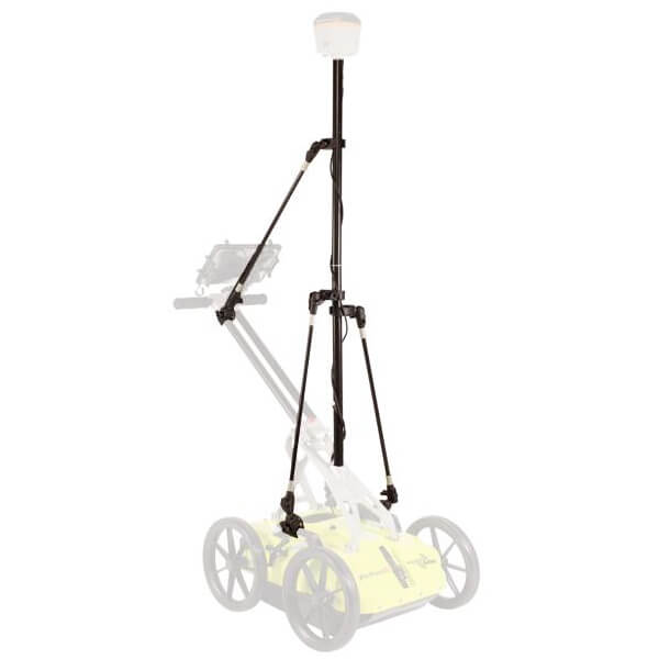

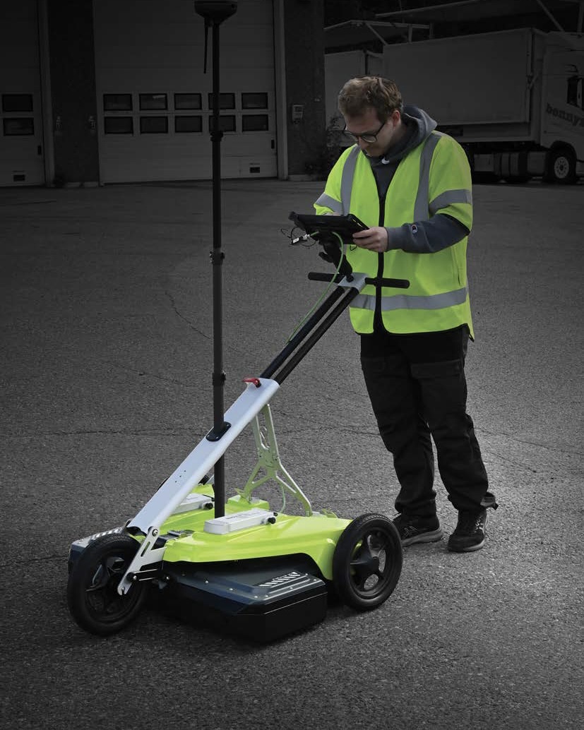
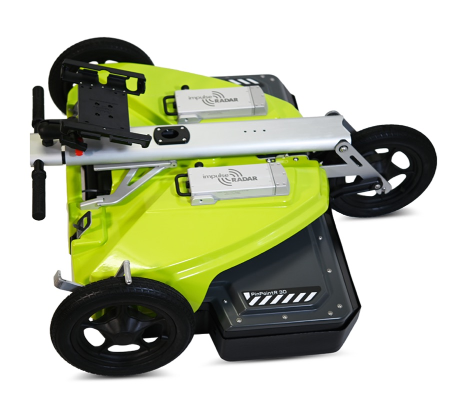
The PinPointR 3D GPR system from Impulse Radar is a best-in-class, lightweight, one-person 3D GPR system designed to make professional 3D surveying easier to adopt, operate, and integrate into everyday fieldwork. From utility mapping and infrastructure investigations to large-area surveying, PinPointR 3D combines an efficient field workflow with the data quality you expect from an industry leader such as Impulse Radar.
PinPointR 3D GPR captures data across a grid, combining multiple scan lines into a 3D data cube. This enables horizontal "slice" views that provide top-down imagery. It uses multiple antenna channels to cover a wider path in a single sweep, unlike single-channel GPR, which requires numerous precise parallel lines for detailed visualization and entails additional time, cost, and lengthy post-processing. 3D GPR collects data using multiple radar antennas simultaneously, precisely capturing dense 3D subsurface data in continuous motion without stopping and starting between scan lines.
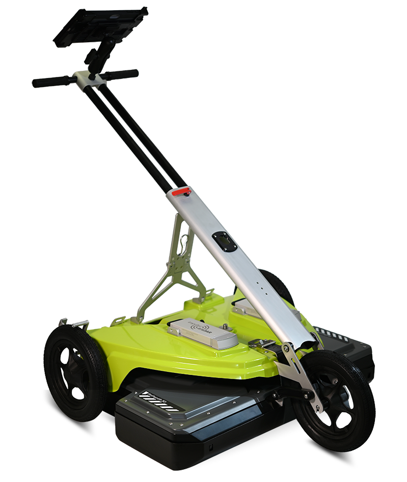
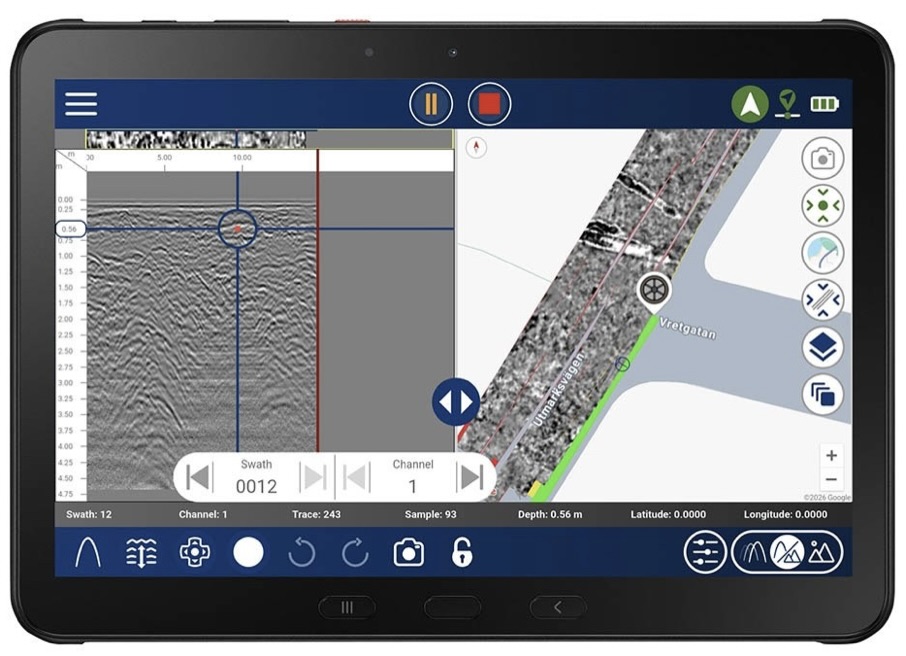
Features include: ViewPoint 2 mapping, easy-to-use operation, 8-channel radar antenna array (450 MHz), RTS real-time sampling technology, a composite weather antenna cover, lightweight folding cart, large off-road wheels, fully wireless Android tablet operation, typically offered with a ruggedized 10.1"/TFT tablet, MIL-STD-81DG and IP68 rated, accepts optional external RTK-GNSS, and includes long-lasting Li-Ion batteries and a robust 2-year warranty.
Key Features:
- 450MHz - 8-channel - CENTER FREQUENCY
- Two Li-Ion Batteries - INTEGRATED DESIGN
- GNSS/RTK - CONNECTOR FOR EXTERNAL
- Impulse Radar - REAL-TIME SAMPLING
- IP65 Environmental Rated
- 2-Year Warranty (Antenna)
Key Features:
- Ruggedized Construction, Lightweight (56 lbs)
- Composite Antenna Housing - WEATHER PROTECTION
- Large Wheels - STANDARD
- Folding Handle - EASY TO STORE
- Brake - SECURE CART ON INCLINE
- Skid Plate - REPLACEABLE
- Ratchet Straps - QUICKLY ADJUSTS ANTENNA
- 2-Year Warranty (Cart Assy)
Key User Features:
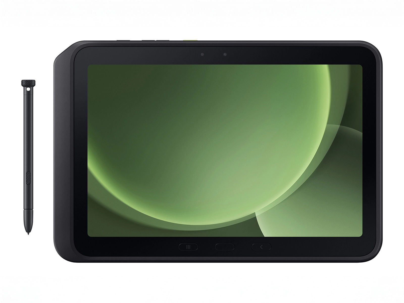
- Samsung Galaxy Tab Active5 Pro 10.1
- Meets MIL Spec. STD-81DG (Ruggedized) / (IP68)
- ViewPoint 2 - Android App
- Free Updates - Whenever features are added
- View Maps simultaneously next to data in real time
- Condor - Software available for analysis and processing.
- 3D multi-line collection
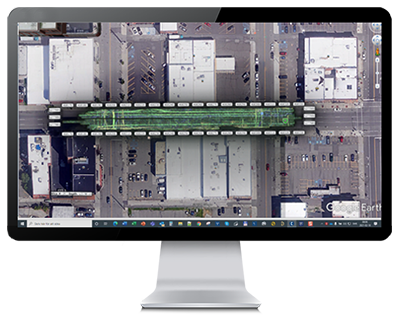
- Mapping with Google Earth Support - generate KMZ files
- Georeferencing with external GNSS RTK for centimeter-level accuracy
- Collects Data according to your needs
- 8-channel selection (450MHz)
- Apply gain at various depths or the entire line
- Pinch to zoom in or out - Intuitive
Technology
Antenna type
Center Frequency
Signal-to-noise ratio (SNR)
Significant/useful number of bits
Scans/second
Survey speed
Data acquisition rate
Time window
Bandwidth
Acquisition mode
Positioning
GPS support
Data time-tagging
Power supply
Power consumption
Operating time
Dimensions
Weight
Operatig temperature
Environmental
Regulatory certification
InpulseRadar real-time sampling
PinPointR 3D
450 MHz
>100 dB
> 16-bit
>800
>130 km/h @ 5 cm point interval
160 MHz
166 n-s (8-channels)
>120% (fractional, -10 dB)
Wheel, time or manual
Wheel encoder, external GPS and Total-station
Integrated support for GPS (int./ext.), NEMA 0183 protocol
To 1 ms of GPS-time
2 V Li-Ion rechargeable battery, or ext. 12 VDC source
3.2 Ah
5.4 hours (8-channel with 2x 8.7 Ah battery) Hot-swappable
880 x 600 x 190 mm (Antenna only)
13.2 kg (Antenna only)
-20º to +50℃
IP65
FCC, IC and CE
Dimensions (folded for transport)
Dimensions (when in use)
Weight
980 x 880 x 400 mm
980 x 880 x 1040 mm (Raised handlebar)
12.2 kg
Recommended Tablet
Display
Operating system
Processor
Memory
Samsung Galaxy Tab Active 5 Pro 5G 10.1"
720 x 1280 pixels or better
Android (>ver.10 or later)
Intel Atom x5-Z8550, Quad-core 2.3 GHz Krait 400 or better
2.7 GB SDRAM or better
ViewPoint 2.0 (included on Tablet)
Condor (optional)
Acquisition software for PinPointR 3D
3D GPR Processing & Interpretation Software
Condor - 3D GPR Processing & Interpretation Software
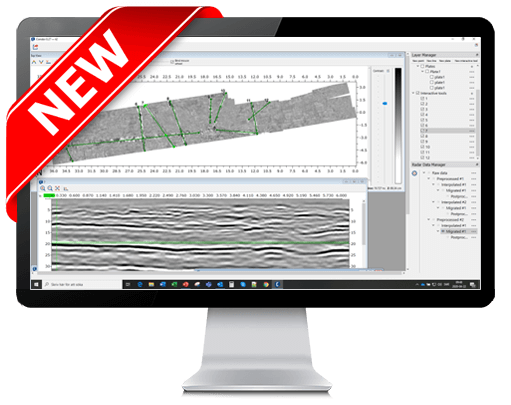
Condor is a modern processing, visualization and interpretation software for the efficient management of Raptor 3D GPR array data.
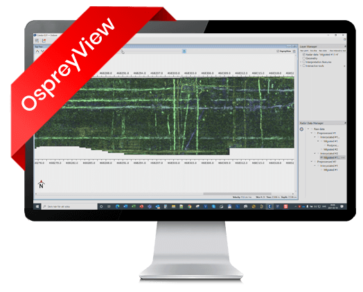
OspreyView
Is the first commercial application of a novel method of visualizing 3D GPR data.
- The user has a clear overview of the targets beneath, instantly, without further processing in an arbitrarily variable time window.
- Completely preserves the resolution of the original data, both in depth and spatially.
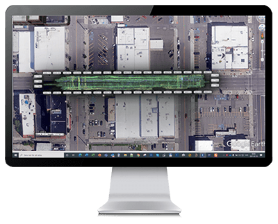
- Very fast, flipping between traditional slice-view and OspreyView is instant.
- Supports precise picking of targets, including correct depth, from the top view only, while not interfering with the pickings in other views.
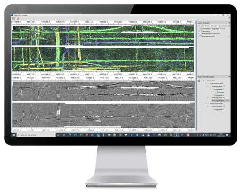
Comparisons between OspreyView and ordinary slice view, averaged 4 times. Depth range in OspreyView set to 0.4 - 2m.
- Does not require separate processing instances, no extra disk space needed.
- Helps in detecting faint objects, minimizes the risk of missed targets.
- Has straightforward Need some intel guys intuitive user interface, no parameter-tweaking needed.
Samsung Galaxy Tab Active5 Pro 5G (unlocked) Tablet
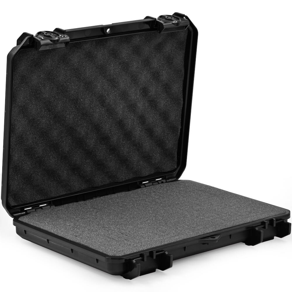
Tablet Protective Case
Condor 3D GPR Processing & Interpretation Software (PC)
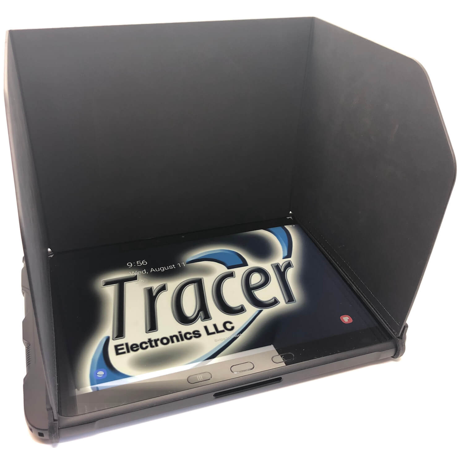
Sunshade for tablet
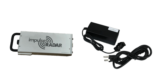
Battery & Charger (spare)
External GPS Mount Kit