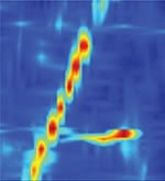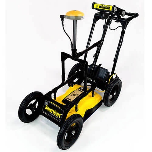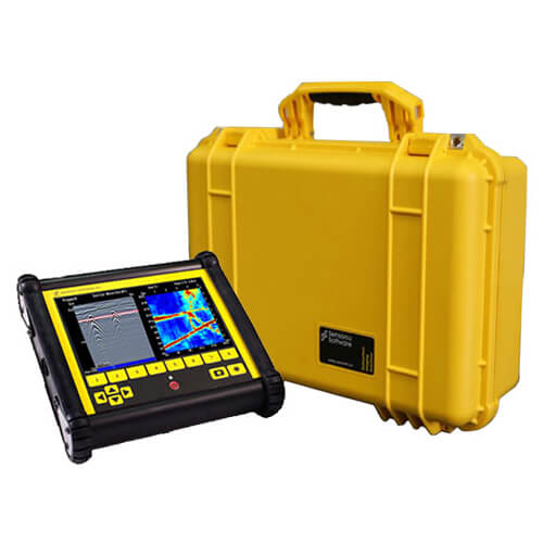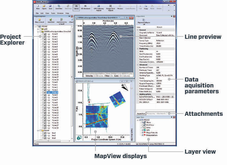

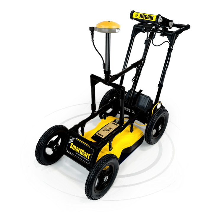

- Dyna-T
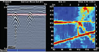
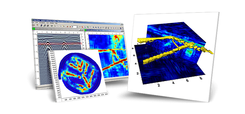
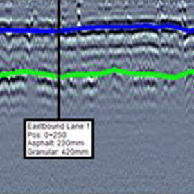
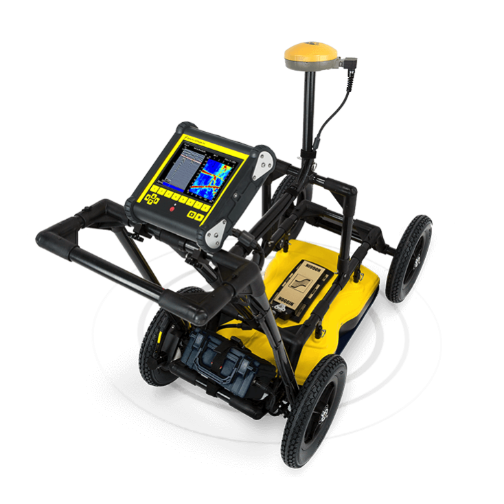
- Slice View
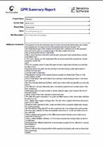
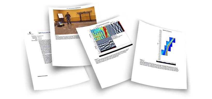
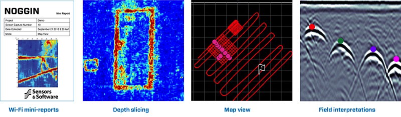
- Mini Reports
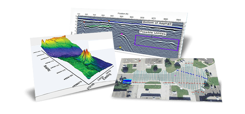
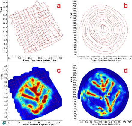
- Depth Slices
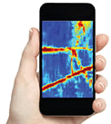
- Wi-Fi
- USB Data
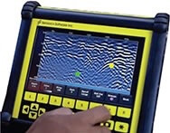
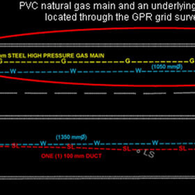
- Interpretations
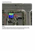
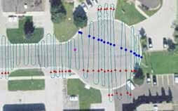
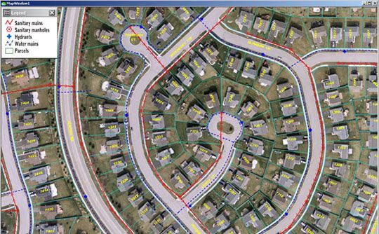
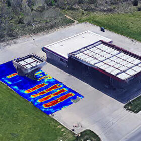
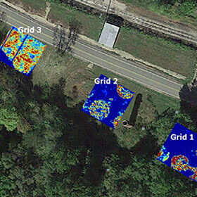
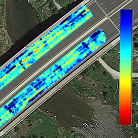
- Plan Map
- Google Earth
- Screen Capture
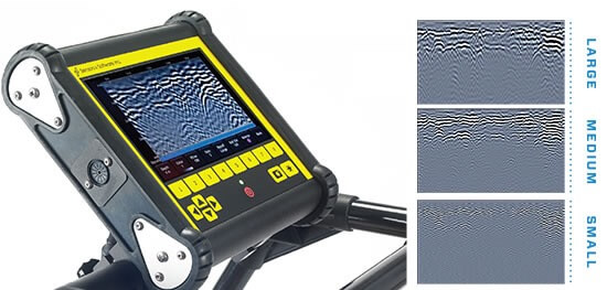
DYNA-T - Dynamic Target Enhancement
Advanced signal processing applied to data to change the effective center frequency. The expanded bandwidth signal produces enhanced higher frequency image, medium frequency image and lower frequency image. This allows for users to search for small shallow targets, medium targets and large deep targets. Users can also view data in “All” blended mode.